„Water is not an ordinary commodity, but an inherited asset
that must be protected, defended, and treated accordingly.“
„Water is not an ordinary commodity, but an inherited asset
that must be protected, defended, and treated accordingly.“
The European Water Framework Directive begins with this sentence. This fundamental principle—along with our commitment to quality and innovation for the benefit of the environment and our customers—has long guided our actions. Contact us, and we will work with you to develop a practical solution.
Revolutionise your water management – sustainably and efficiently with Advanced Irrigation Management-System (AIMS)
Beyond serving as a habitat and source of sustenance for plants and animals, it is a crucial factor for the economy of every region in the world. The amount we use daily for household purposes is relatively small. However, we primarily require water for a wide range of industrial processes—as a fluid for energy generation or as a coolant—and, above all, for global agricultural irrigation. While the total amount of water available globally remains relatively constant, the world’s population is growing; this drives up the demand for housing, clothing, and food—the continuous production of which requires ever-increasing quantities of water.
For years, scientists have predicted that the growth of the global population, environmental pollution, climate change, and the steadily rising demand for water will confront us with a major global challenge. Studies forecast a 40% deficit between consumption and global water availability by 2030 alone. Quelle: The 2030 Water Resources Group
Every decision counts.
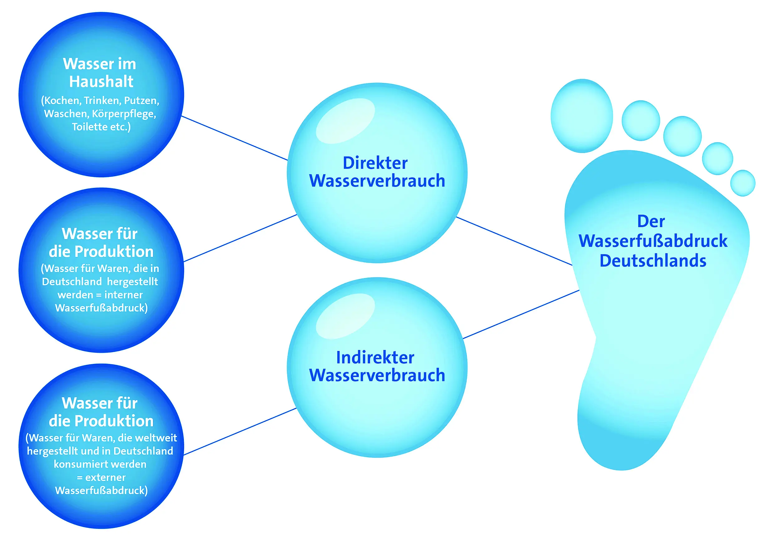
Through our daily consumption habits, we all contribute to the amount of water consumed globally. Beef from the USA, coffee from Colombia, chocolate from the Ivory Coast—the water used to produce these foods also counts towards our daily water consumption and is known as our „water footprint.“
Freshwater – the finite resource
Fresh water is essential for the production of all food grown worldwide, which, in a broader sense, also includes the production of animal feed for keeping farm animals. Only about 2.5% of the water on Earth is freshwater, and much of it is tied up in glaciers and polar ice caps. The readily available share of fresh water from rivers, lakes and groundwater is very limited, and water resources are unevenly distributed. The causes for this are climatic and geographical, and therefore differ from country to country.
Climate change has a significant impact on the global water cycle. Shifts in the seasons and extreme weather events such as heavy rainfall and droughts have profound effects on the availability of water resources. At the same time, we are using more and more water for our households, industry and agriculture, which in many countries is even being returned to the rivers without being treated. The consequences are water pollution, groundwater exploitation and falling water levels in lakes and rivers.
Countries at the Limit
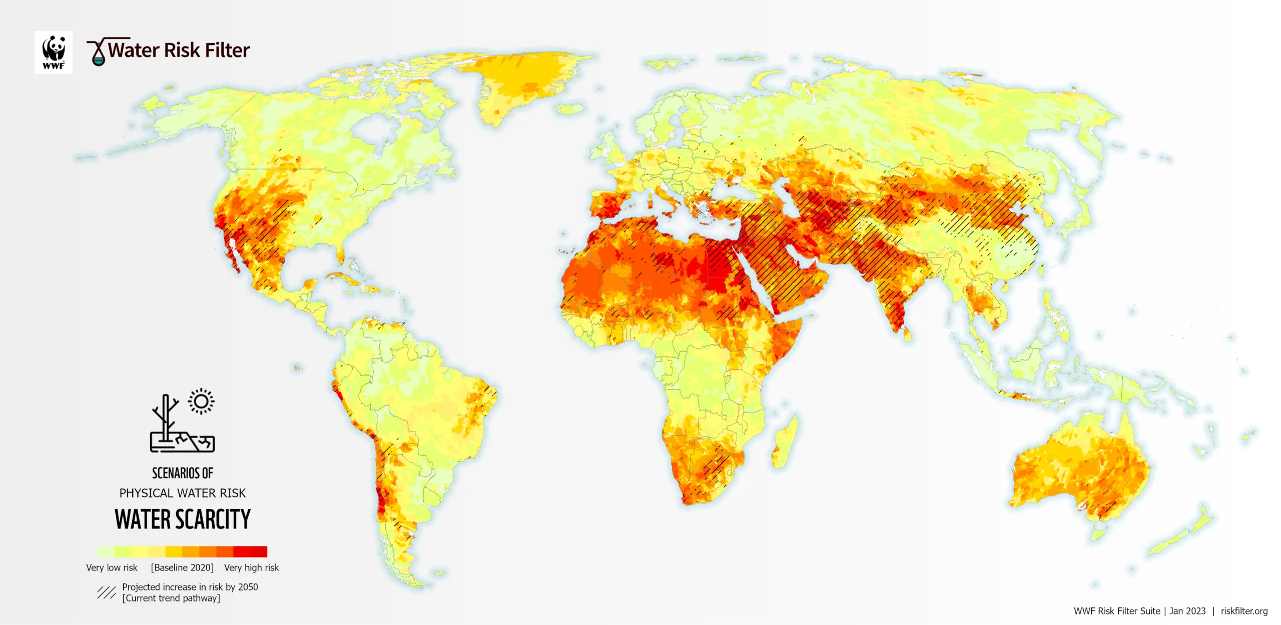
Twenty-five countries, home to one-quarter of the global population, face severe water scarcity. They suffer from what is known as „water stress.“ Water-stressed countries withdraw more than 20% of their available (drinking) water. „Extreme water stress“ is defined as a situation where withdrawals exceed 40% of available resources. Affected regions include, in particular, North America, North Africa, the Middle East, South Asia, and Australia. Water demand is projected to rise by 20–50% by 2050. This will pose a massive challenge for all industrial enterprises and agricultural operations—ranging from large corporations to individual farmers—as the latter face the threat of crop failures.
Source: Helmholtz Centre for Environmental Research (UFZ)
https://www.ufz.de/
The Fight for Water.
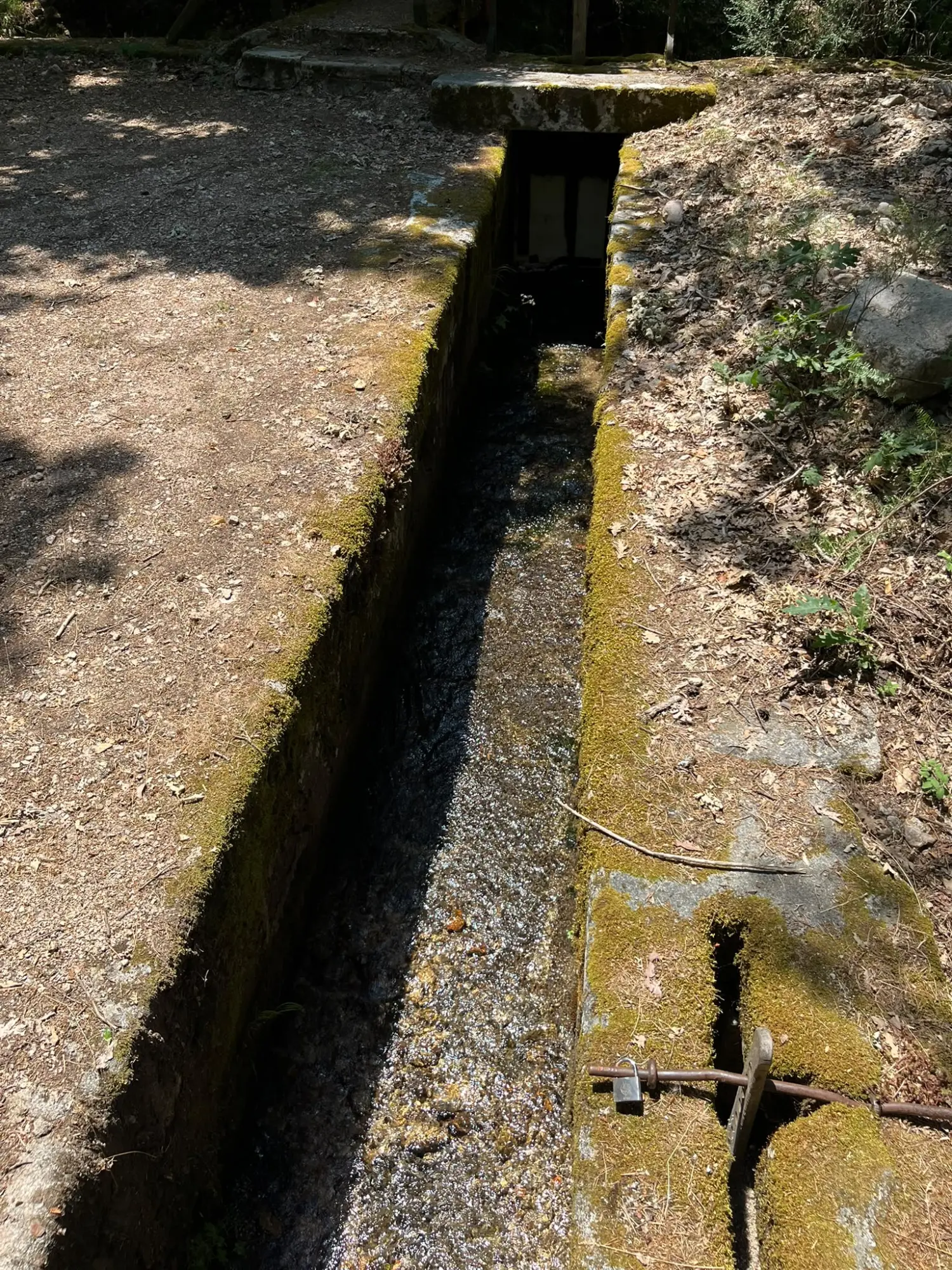
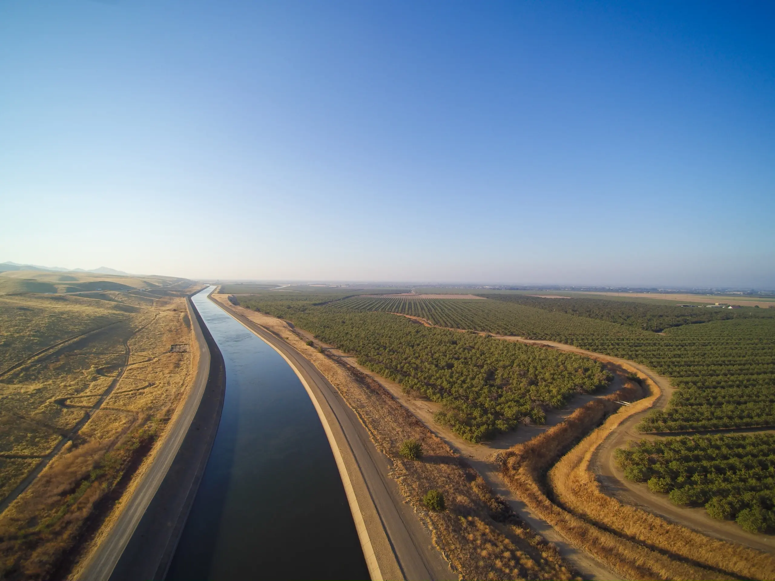
As water availability declines, conflicts of interest arise in the affected regions—between nations, industry and agriculture, municipalities, businesses, farms, and neighbours. The issue of water becomes a question of equity. Irrigation systems in many countries begin as wide canals made of concrete or earth, which progressively narrow and branch out until their offshoots reach the farmers‘ fields as small channels.
Where rivers originate, or water is collected in dams or retention basins, it appears as though water is plentiful. However, at the downstream ends of rivers or the tail ends of irrigation systems, often only trickles emerge from pumps and canals. If too much water is withdrawn upstream, there is not enough for everyone.
When water is lost, unused.
The situation is compounded by the inefficient use of freshwater in agricultural irrigation (45% – source: documents.worldbank.org).
Leaks in irrigation systems, a lack of rainwater retention systems, and over-irrigation by farmers result in vast amounts of water being wasted. The vast majority of irrigation companies and farmers worldwide still decide how, when, and to what extent to irrigate their fields based on intuition and experience, thereby failing to leverage innovations that could make a decisive difference in water management—technology that enables more sustainable water management and could thus serve as the key solution to the water crisis.
The statement issued by the World Bank Group during a roundtable dialogue titled “Water Can’t Wait: Accelerating Innovation for Water Security” in January 2023 reads as follows:
„Innovative solutions exist. Advances in sensor technology, computing, artificial intelligence, and big data management, can help monitor water quantity and quality and inform operational decisions by the policy makers and water management companies.
Also, innovations in nature-based systems to manage water are available that can contribute to resilient water management. “If new technologies and approaches hold so much potential, then why is it that these solutions are not deployed more widely?”
Beyond serving as a habitat and source of sustenance for plants and animals, it is also a crucial factor for the economy of every region in the world. The amount we use daily for household purposes is relatively small. However, we rely on water most heavily for a wide range of industrial processes—such as for energy generation or as a coolant—and, above all, for global agricultural irrigation.
While the total amount of water available globally remains relatively constant, the world’s population continues to grow, driving up the demand for housing, clothing, and food—all of which require ever-increasing amounts of water to sustain rising production levels.
Advanced Irrigation Management-System (AIMS)
The water crisis cannot be solved by changing just one thing. However, water scarcity can be mitigated by implementing several adjustments.
Offering a single solution would presuppose that countries and their water supply requirements are identical. However, this is not the case. Political, geographical, climatic, and developmental contexts require a tailored approach to stabilise a region’s water supply.
An advanced irrigation management system (AIMS) demands extensive knowledge and expertise across various disciplines. In addition to measuring water levels and flow rates in conveyance channels, proficiency is required in data transmission, data processing, the numerical simulation of hydrological monitoring networks, satellite-based geographic data acquisition, and digital billing for water consumption. A common characteristic of all these fields is that they are subject to rapid evolution, making it impossible for any single company to keep them all at the cutting edge of technology.
Advanced Irrigation Solutions has therefore formed a consortium, collaborating with specialists who possess world-leading technologies. Together, the respective components and modules constitute AIMS—currently the most advanced irrigation management system.
How does AIMS work?
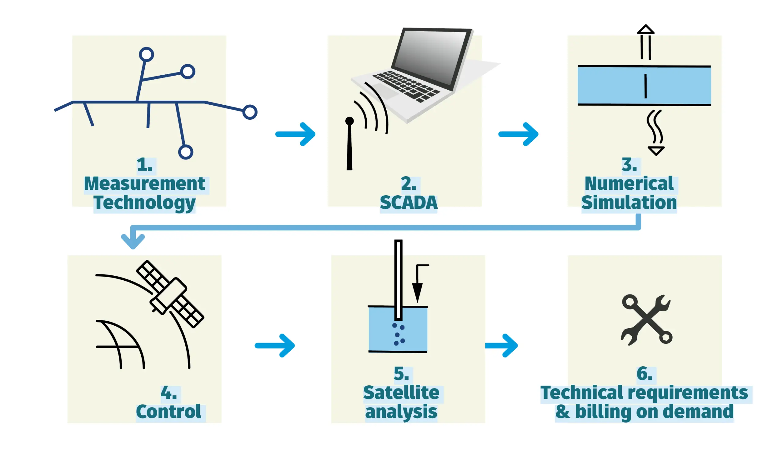
State-of-the-art measurement technology captures flow rates and water levels in open channels or closed pipelines with high precision; the systems can be integrated into existing irrigation networks with minimal effort. Extensive structural modifications are unnecessary, as the existing infrastructure can be utilised.
The water’s journey from its „source“ to its destination—the farmer’s fields—can span several kilometres. Measuring flow rates within the channels allows for the detection of leaks (water loss) and unauthorised water extraction by third parties—issues that result in water loss and cause precious water to seep away unused. The goal is to obtain real-time, round-the-clock information on conditions within the irrigation network.
We determine the number of measuring devices required based on the objectives agreed upon with our clients. These objectives might include understanding water availability and system functionality. The scope of measurement can be expanded to track exactly how much water each farmer withdraws.
The vast amount of measurement data transmitted by remote terminal units requires comprehensive processing and meaningful visualisation—in the form of process displays—to ensure continuous, reliable monitoring, analysis, and intelligent control. Comprehensive information regarding the existing, extensive water network enables full control over the system and forms the foundation for sustainable water management. This also allows for a rapid response to disruptions or meteorological events at any time.
A team of mathematicians and hydrologists is developing a modular numerical model that reflects flow behavior within the irrigation network. This model is based on data already collected regarding flow rates and water levels in the canals, as well as algorithms grounded in assumptions such as canal width, material (concrete or earth), canal shape, and vegetation (algae, trees in the water, grasses). To validate these assumptions, the model must be calibrated.
Once calibrated, the model is used to calculate scenarios that reveal how the system behaves during extreme events, such as periods of drought or heavy rainfall. Understanding flow dynamics and water pathways provides the foundation for managing water supplies precisely according to demand. This detailed analysis and in-depth understanding enable simulations that offer a crucial advantage in water management: demonstrating how water can be conserved. State-of-the-art measurement technology captures flow rates and water levels in open channels or closed pipelines with high precision; the systems can be integrated into existing irrigation networks with minimal effort. Extensive structural modifications are unnecessary, as the existing infrastructure can be utilised.
The water’s journey from its „source“ to its destination—the farmer’s fields—can span several kilometres. Measuring flow rates within the channels allows for the detection of leaks (water loss) and unauthorised water extraction by third parties—issues that result in water loss and cause precious water to seep away unused. The goal is to obtain real-time, round-the-clock information on conditions within the irrigation network.
We determine the number of measuring devices required based on the objectives agreed upon with our clients. These objectives might include understanding water availability and system functionality. The scope of measurement can be expanded to track exactly how much water each farmer withdraws.
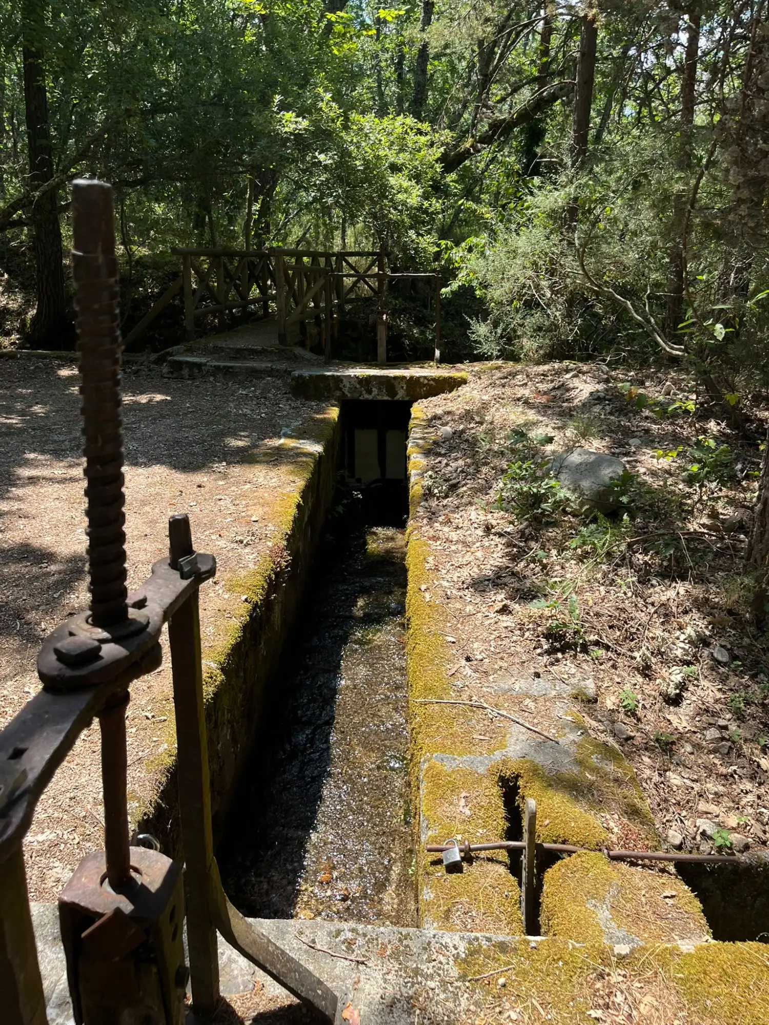
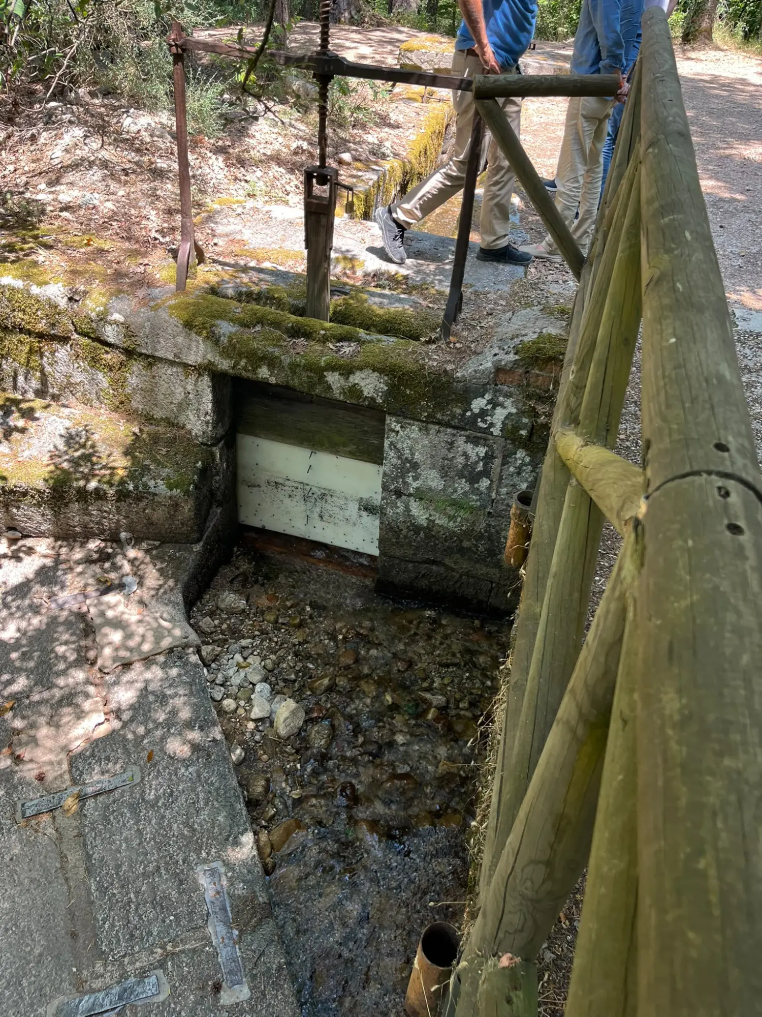
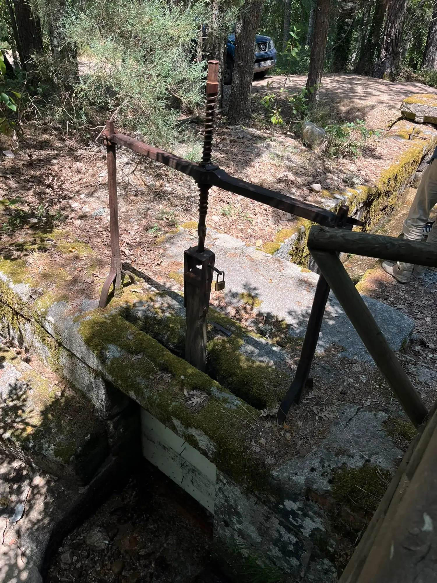
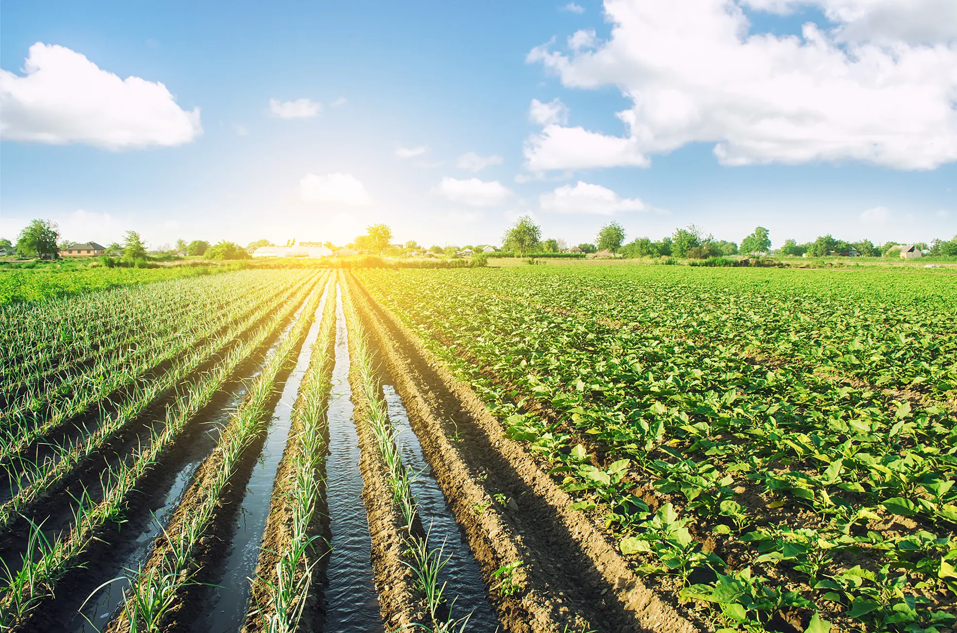
Countless water-conveying channels and pipes stretch for kilometres through vast cultivation areas, reaching even the smallest of individual farmers‘ fields. Sluice gates and weirs control the flow of water. Insights gained from prior simulations allow the system to be managed in accordance with specific requirements. Water requirements vary for each farmer depending on the type of crop, the stage of the harvest, and weather forecasts, which also account for extreme conditions such as low water levels or heavy rainfall. A single click determines where and how many weirs open and automatically close, delivering the precise amount of water the farmer needs for the day, right down to the minute.
Maintaining control over the water network also makes it possible to capture heavy rainfall rather than letting it flow away unused; instead, it can be diverted and collected in retention basin. These can be small-scale units located on the farmer’s property—such as a type of cistern—that fill up during extreme weather events. This ensures the water can be put to effective use precisely when it is needed most.
Applying water based on actual need requires the prior analysis of extensive data. To ensure optimal use of cultivated land and the associated water resources, we utilise state-of-the-art satellite analysis. First, precise mapping identifies the cultivation areas of each farmer. This process involves not only surveying the plot but also determining the type of crop and its growth stage from above. Soil moisture measurements are also taken and factored into the calculation of water requirements.
The actual volume of water required is determined using data that accounts for weather forecasts, groundwater levels, soil composition and moisture, crop type, and growth stage. Data collection also enables recommendations regarding fertilisation and the use of crop protection products, as well as yield forecasts; based on satellite imagery, these indicate whether the harvest is meeting expectations, falling short, or exceeding them. The satellite-based geoinformation portal offers another advantage: it simplifies the detection of leaks.
To enable the metering of every consumer, flow meters—along with the necessary shut-off valves—must be installed in the water conveyance channels. This investment is essential to modernise the existing regional infrastructure into a forward-looking irrigation system, thereby facilitating sustainable water management.
Using a multi-tenant app, end users can request water, view their personal consumption statistics, and receive recommendations based on the water volumes used by other growers cultivating the same crops on comparable land areas. In countries where farmers purchase water rights or pay for water withdrawal, the app can serve as a billing system. Its features range from generating monthly invoices (with payment terms in the local language) to confirming receipt of payment. The system also tracks outstanding balances, which may result in restrictions on future water orders.

The benefits of AIMS
Optimised water management:
AIMS enables precise and efficient control of water usage based on farmers‘ actual needs, thereby minimising water waste.
Customisation:
The system takes local climatic, geographic, and agricultural conditions into account to provide tailored solutions for different regions.
Real-time monitoring:
State-of-the-art measurement technology and continuous real-time data transmission monitor flow rates, allowing for immediate adjustments to prevent shortages.
Integration of satellite data:
Satellite technology enables more accurate forecasting regarding soil moisture, crop cycles, and potential leaks, facilitating even more precise water management.
Cost and resource efficiency:
Increased irrigation efficiency helps lower operating costs while maximising crop yield.
Long-term sustainability:
AIMS not only contributes to water conservation but also supports the long-term preservation of soil quality through precise, tailored irrigation.
Innovative and scalable technology:
The system is based on an open architecture that integrates easily with existing infrastructure and can be adapted to meet evolving water management needs.
Further advantages of AIMS
- Open system: Measuring systems from other manufacturers can be integrated.
- Local value creation: Local companies are included.
- We provide the construction instructions for manufacturing shooters and weirs, and take care of the subsequent quality assurance.
- Existing weirs can be overhauled and automated by local system manufacturers; not everything has to be rebuilt.
- Data storage on local servers: Sensitive infrastructure data remains under the control of the country.
- A system based on the most innovative state of the art: A consortium of different partner companies united by in-depth know-how, as the respective teams are leading experts in their field.
Who is Advanced Irrigation Solutions?
Advanced Irrigation Solutions forms a consortium with partners possessing over 20 years of experience in the development, production, and distribution of electronic devices, sensors, systems, and software for flow measurement.
Advanced Irrigation Solutions is a provider of acoustic flow measurement systems designed primarily for use in rivers and open channels.
Competencies and developments:
Innovative measurement systems: Development of both „wetted“ and non-invasive sensors for precise flow measurement that can be installed in hydroelectric power plants without interrupting operations.
Advanced digital signal processing: Expertise in time-domain, frequency-domain, and cross-correlation analyses, combined with comprehensive know-how in fluid mechanics—mathematically modeling turbulent and laminar flows as well as the transition between them. Numerical methods such as CFD (Computational Fluid Dynamics) analysis are strategically employed.
Open-channel and river flow measurement: Development of new flow meters and the introduction of new frequencies and digital processing techniques for longer acoustic path lengths, enabling accurate signal evaluation despite surface reflections.
The innovative solutions from Advanced Irrigation Solutions enable precise flow measurements that facilitate efficiency testing and energy optimization in hydroelectric power plants, while ensuring reliable, low-maintenance installations. Consequently, these products contribute significantly to improved operational safety, reduced downtime, and enhanced overall performance.
Example project